 Soil
SoilGNSS Monitoring System
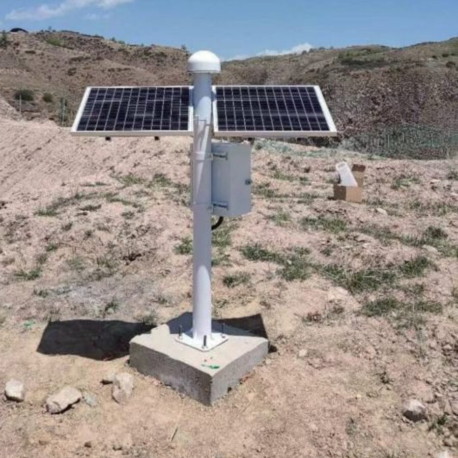
An all-in-one, all-constellation GNSS receiver for millimetre-level 3D surface-displacement monitoring. BeiDou short-message keeps remote sites reporting even where there is no cellular network at all.
Millimetre-level displacement, anywhere the sky is open
The SCIS-GNSS-100 pairs a base station on stable bedrock with rover stations on the deformation body. RTK double-difference carrier-phase processing cancels clock and atmospheric errors, then fixes integer ambiguities to deliver millimetre-level 3D displacement in real time — around the clock, in any weather, with no line of sight required between points.
- ✓All-constellation, BDS-3 triple-frequency
Tracks GPS, GLONASS, Galileo and BDS-3; B1C/B2a/B3I triple-frequency cancels first-order ionospheric error, holding mm-level accuracy on baselines up to 30 km.
- ✓BeiDou short-message for no-network sites
Where there is no cellular coverage, monitoring data returns via BeiDou short message — ideal for slopes deep in remote mountains.
- ✓Low-power all-in-one
Receiver, antenna and comms in one sealed unit drawing under 1.2 W — a small solar panel keeps it running, plug-and-play.
- ✓Kalman + sidereal-day filtering
The AI layer denoises with Kalman and sidereal-day filtering, suppressing repeating multipath errors and pushing long-term noise to 1–2 mm.
RTK Double-Difference: How Millimetres Emerge From Space
A base station on stable bedrock and a rover on the monitored structure observe the carrier phase of the same satellites. Differencing across the two receivers and across two satellites cancels the dominant error sources — what remains is pure geometry plus an integer ambiguity that, once fixed, unlocks millimetre-level relative displacement.
Difference Twice
Differencing the carrier phase between the two receivers and between two satellites cancels receiver clock error, satellite clock error and most of the atmospheric delay — the errors never need to be measured, only cancelled.
Fix the Ambiguity
The remaining unknown is the integer number of carrier wavelengths. The LAMBDA algorithm resolves it to whole numbers within 1–60 s — the "fixed solution" — at which point positioning enters the millimetre regime. Corrections stream from base to rover as standard RTCM 3.x.
Average Down the Noise
Short-baseline RTK delivers ±8 mm + 1 ppm horizontal and ±15 mm + 1 ppm vertical; for long-term monitoring, minute-level epoch averaging compresses the noise floor to 1–2 mm.
SCIS-GNSS-100 Technical Specifications
RTCM 3.x standard corrections, four communication options plus BeiDou short message, and a power budget small enough for a single solar panel.
| Parameter | SCIS-GNSS-100 |
|---|---|
| Constellations | GPS / GLONASS / Galileo / BDS-3 |
| Static accuracy | ±2.5 mm + 0.5 ppm |
| Dynamic accuracy (RTK) | ±8 mm + 1 ppm horizontal · ±15 mm + 1 ppm vertical |
| Long-term monitoring noise | 1–2 mm with epoch averaging |
| Correction protocol | RTCM 3.x |
| Communication | 4G / NB-IoT / LoRa / UHF + BeiDou short message |
| Denoising | Kalman + sidereal-day filtering |
| Power supply | DC 12–36 V, solar / mains |
| Power consumption | < 1.2 W |
Deployed the Right Way, So the Data Can Be Trusted
Base Station on Stable Bedrock
The base sits on known, stable ground and is verified by periodic static comparison — if the reference moves, every reading is suspect.
Clear 15° Horizon
Obstructions are kept below a 15° elevation angle to maximize visible satellites; rigid antenna mounts keep self-vibration out of the data.
Dual Links + Quality Flags
4G primary with UHF backup; the cloud flags any station whose fixed-solution rate drops below 80% for review before issuing an alert.
All-In-One Design vs. Imported-Module Receivers
Many monitoring receivers on the market are built around third-party OEM modules — which shows up as complex setup, higher power draw and higher cost. The SCIS-GNSS-100 takes a different route: a fully in-house technology stack in one sealed unit.
| Dimension | SoilCreate SCIS-GNSS-100 | Imported-module receivers |
|---|---|---|
| Core technology | Fully in-house technology stack | Built around imported OEM modules |
| Commissioning | All-in-one, plug-and-play | Complex setup and configuration |
| No-network sites | BeiDou short-message fallback | Cellular only — data gaps |
| Power draw | < 1.2 W — small solar panel | Higher draw, larger solar arrays |
| Total cost | High-value system pricing | Varies by module and service scope |
Site Installation: Geometry and Links First
GNSS monitoring accuracy is decided as much by where and how stations are installed as by the receiver itself. Five field rules from the installation manual.
- 1Plan the baseline length first
Under 10 km is the RTK comfort zone. At 10–30 km, mid-baseline parameters need adjustment; beyond 30 km, upgrade to PPP or a multi-base-station network.
- 2Mount the rover rigidly
The rover antenna connects rigidly to the monitored foundation — typically a concrete pier or steel frame. A flexible mount lets the antenna's own vibration enter the displacement data.
- 3Run dual communication links
4G as the primary link with UHF as redundant backup. A 4G-only setup in mountainous or below-grade terrain is prone to data loss.
- 4Size the power with margin
Solar systems are sized for 7 days of overcast plus a 30% safety reserve. With mains power, plan for outages — the often-overlooked failure mode.
- 5Inspect link quality weekly
4G signal quality at urban fringes degrades over time. A weekly link-quality check keeps RTK from silently degrading toward single-point positioning.
Where the SCIS-GNSS-100 Earns Its Keep
Continuous, unattended surface-displacement monitoring — from unstaffed mountain slopes to dam crests and long-span bridges.
Slopes & Landslides in Remote Mountains
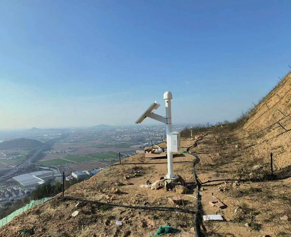
Solar power plus BeiDou short-message suit unattended sites far beyond cellular coverage; pairs with flexible inclinometers and water level gauges as a standardized geohazard early-warning kit.
Dam Crest Deformation
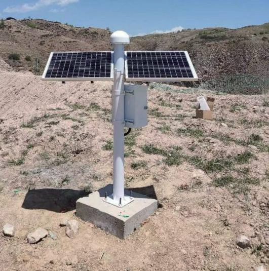
Continuous 3D displacement of the dam crest and abutments; sidereal-day filtering separates true movement from repeating multipath, supporting long-term trend analysis.
Bridge Towers & Main Girders
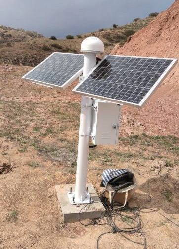
Tracks tower tilt and girder deformation through wind, temperature and traffic loading — all-weather, day and night, with no line of sight required.
Frequently Asked Questions
Our site has no cellular network at all. Can it still report?
How long can the baseline between base and rover be?
What is a "fixed solution", and why does its rate matter?
The station sees few satellites or the fixed rate is low. What do I check?
How long can a station run on solar power alone?
Downloads & Resources
Related Products
Related Cases


Related Solutions

Make an enquiry
Submit your request without leaving the page. Price negotiation stays off the public catalog.
Contact: sales@soilcreate.com · WhatsApp: +86 15356046033