 Soil
SoilSlope and Landslide Monitoring Cases
Slope monitoring needs surface displacement, deep slip-surface location, groundwater and rainfall in one warning logic. The standard stack is GNSS + flexible inclinometer + water level + rainfall, with solar and low-power communication for remote sites.
Short baselines keep RTK stable; longer projects need multi-station or PPP planning.
Cloud logic should review link quality before treating a low fixed-solution rate as deformation.
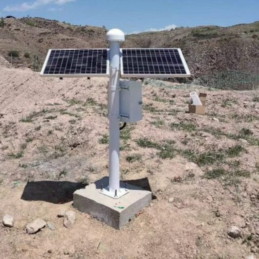
Solar power and low-power communication support remote slope stations.
GNSS provides north-east-up displacement for landslide blocks and pipeline corridors.
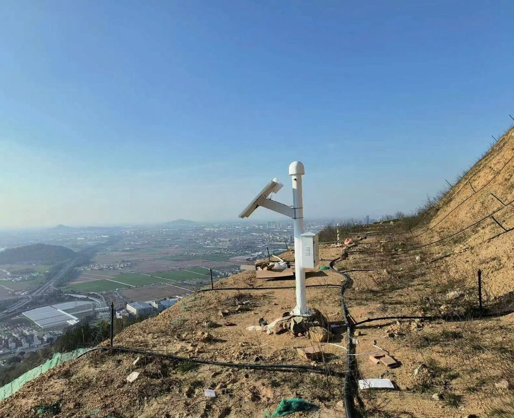
What SoilCreate Monitors On Site
A slope warning system should not rely on one signal. GNSS tells whether the surface block is moving; flexible inclinometers reveal the depth and shape of internal deformation; water-level gauges explain groundwater-driven acceleration; rainfall and weather data provide triggering context. SoilCreate packages these into a low-power, solar-ready field system with quality flags for positioning reliability.
- ✓Surface and deep displacement together
GNSS confirms block movement while flexible inclinometer profiles locate the active shear zone.
- ✓Water and rainfall as causes, not decoration
Groundwater rise and rainfall history are displayed with displacement rate to support warning decisions.
- ✓Communication quality before alarm
For GNSS stations, fixed-solution rate and link logs are separated from displacement curves to prevent false warnings.
Monitoring Chain Used On Site
Delivered Monitoring Cases
PetroChina Pipeline Geohazard Monitoring, Nanning
SoilCreate served the Nanning PetroChina pipeline geohazard project, monitoring landslide-body deformation along an operating pipeline corridor without interrupting pipeline service.
Longyan High-Fill Slope Deformation and Bearing Test
SoilCreate used in-place inclinometer monitoring in the Longyan high-fill slope deformation and bearing-capacity test, where deep deformation is more meaningful than surface inspection alone.
Guizhou Xingyi Ring Expressway
Road-network slope projects connect geohazard monitoring with transport operation, requiring robust remote communication and maintenance-light deployment.
Delivery Checks Behind Reliable Data
| Delivery phase | Field check |
|---|---|
| Baseline planning | Place GNSS base stations on stable ground; check baseline distance and sky visibility. |
| Cross validation | Do not issue high-level warnings from GNSS alone when fixed-solution quality is poor. |
| Field power | Size solar panels for consecutive cloudy days plus reserve capacity. |
Related Products
Make an enquiry
Submit your request without leaving the page. Price negotiation stays off the public catalog.
Contact: sales@soilcreate.com · WhatsApp: +86 15356046033