 Soil
SoilWater Conservancy and Dam Monitoring Cases
For dam bodies, embankments, reservoirs and hydropower sites, the monitoring focus moves from a single point to deep profiles, seepage pressure, stress-strain and reservoir-area geohazards.
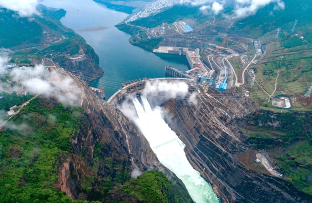
Baihetan ZK14 used a customized 180 m SCIS1030S field setup.
The deep-bore dataset used 0.5 m depth spacing.
Four rounds of data were collected with 270 depth readings per round.
Water conservancy scenarios require 300 m-class ultra-deep borehole planning.
What SoilCreate Monitors On Site
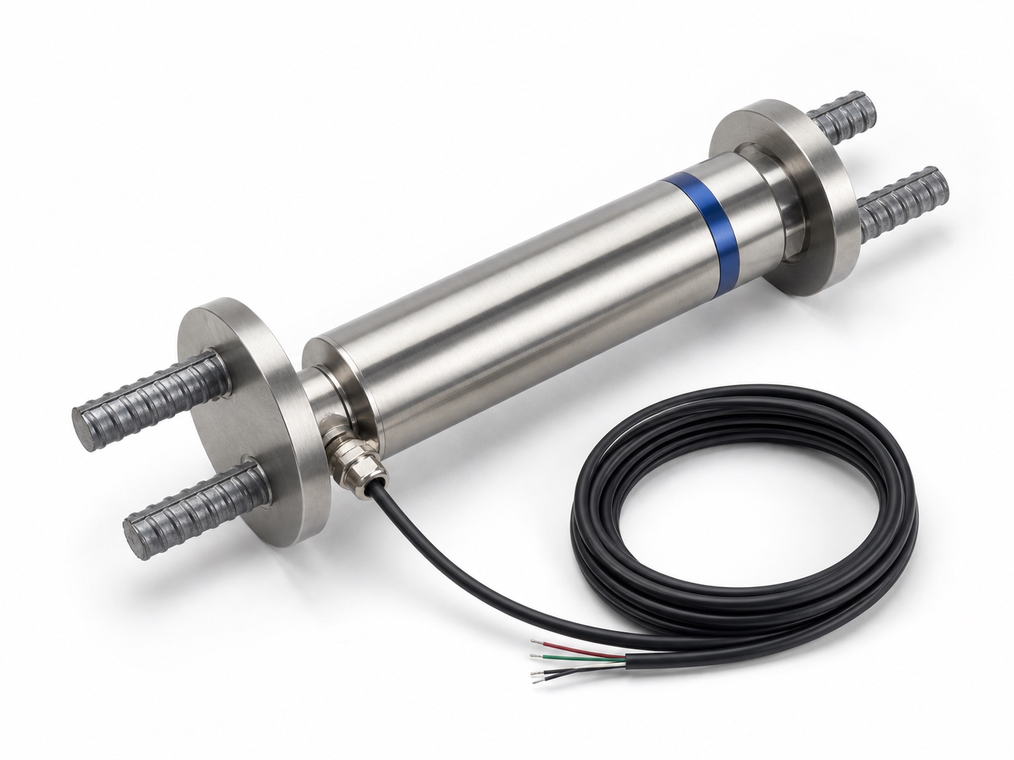
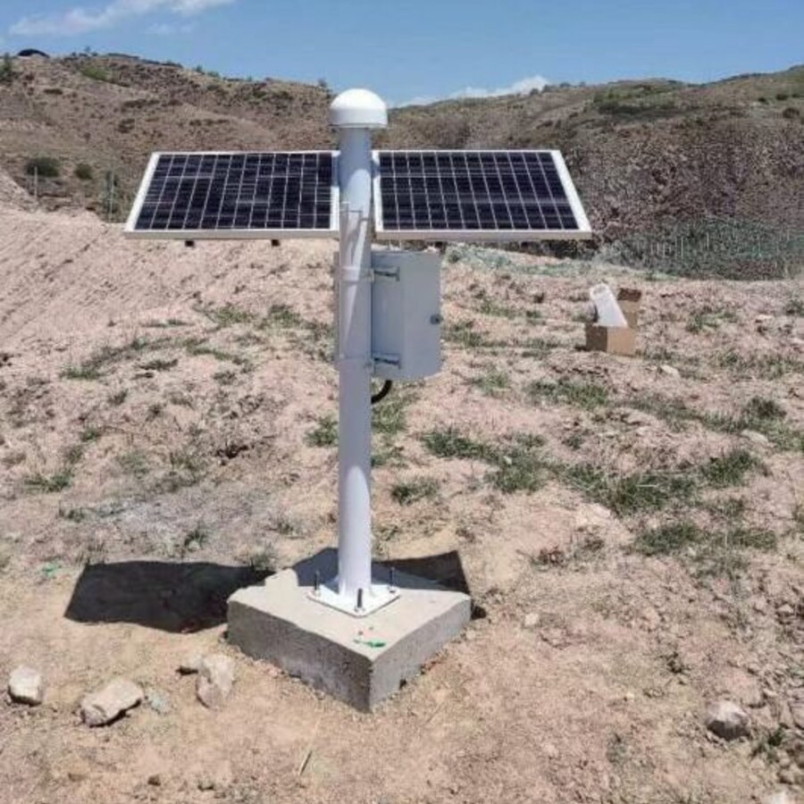
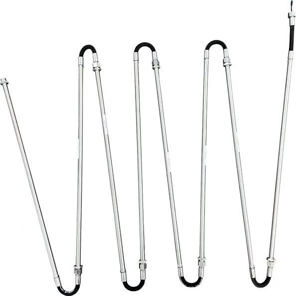
Dam monitoring requires instruments that survive long service life and deep installation. Sliding systems are used for high-precision campaign measurement in ultra-deep boreholes; in-place inclinometers and VW sensors are suitable for embedded long-term monitoring; piezometers track uplift pressure and seepage; GNSS and weather data cover the dam crest, reservoir slopes and broader environmental context.
- ✓Ultra-deep borehole execution
Cable length, probe wear, power and spare parts are planned together for boreholes far beyond routine pit depths.
- ✓Seepage and deformation in one view
Piezometer, VW and inclinometer data explain whether deformation is related to water pressure or structural stress.
- ✓Reservoir-area warning
GNSS, rainfall and slope sensors extend dam safety monitoring from the dam body to surrounding geohazards.
Monitoring Chain Used On Site
Delivered Monitoring Cases
Baihetan Hydropower Station
The Dawanzi section ZK14 borehole used a customized 180 m single-axis SCIS1030S in October 2022. Four measurement rounds at 0.5 m spacing produced 270 depth readings per round, validating the field boundary of the deep-bore workflow.
South-to-North Water Diversion
SoilCreate has served water-diversion monitoring work, providing deformation, seepage and structural-health data for long-term operation-period safety assessment.
Delivery Checks Behind Reliable Data
| Delivery phase | Field check |
|---|---|
| Borehole planning | Confirm depth, cable length, reel capacity, guide-wheel spares and battery reserve. |
| Embedded sensors | Protect VW and piezometer cables before concrete or fill operations make replacement impossible. |
| Long-term archive | Keep installation depth, calibration records and data-quality flags for decades of comparison. |
Related Products
Make an enquiry
Submit your request without leaving the page. Price negotiation stays off the public catalog.
Contact: sales@soilcreate.com · WhatsApp: +86 15356046033